 |
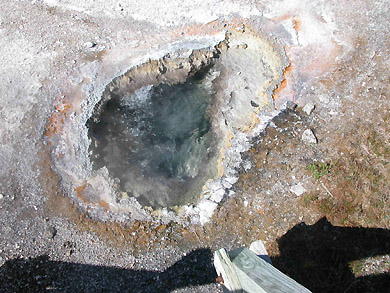
| The first geyser from the bridge was Anemone. |
 |
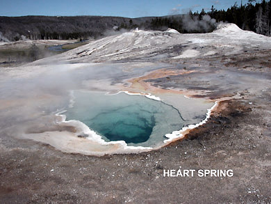
| Didn't get this sign, but it must be between Heart Spring below
and Beehive Geyser. Could be Plume, from the map. |
 |
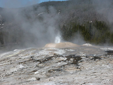 |
| The Lion Group is one that is constantly being watched and it's
activity posted at the visitors center. |
 I
took a picture of this sign which is also marked by Elaine, our
scribe, on the map just after the Lion Group. So, I would I
took a picture of this sign which is also marked by Elaine, our
scribe, on the map just after the Lion Group. So, I would |
| conjecture that the picture on the right is looking back on the
Lion Group -- OK? Or it could be a distant
view of the Castle geyser. Scroll down the the bottom of this column
and . . . |
 |
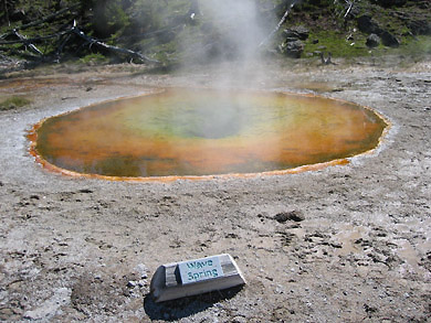
| and eight minutes before the "Wave Spring" photo was
taken below. I have not found "Wave Spring" anywhere on
our map. |
 |
 |
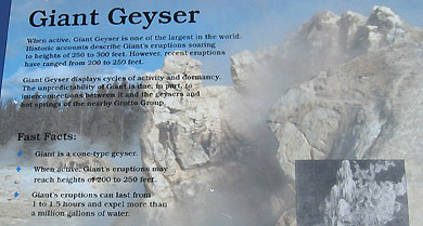 |
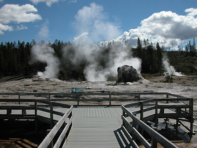
| The two pictures above and right of the sign is Giant Geyser, and
is marked clearly on the map. |
 |
| This sign was hard to photograph. Elaine typed this up for us:
It's circled on the map above. We waited, it failed. |
 |
 |
 |
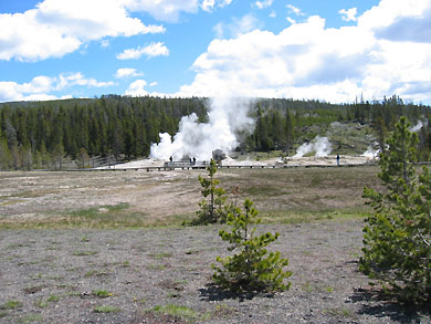
| We had a snack here -- it was nearly noon and we had lots of more
sightseeing to do. Our friend went un-fed! |
 |
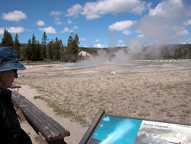
| These are our pictures of Daisy Geyser. The map right shows you
where we were. Took a side trip from our return bike path. |
 |
 |
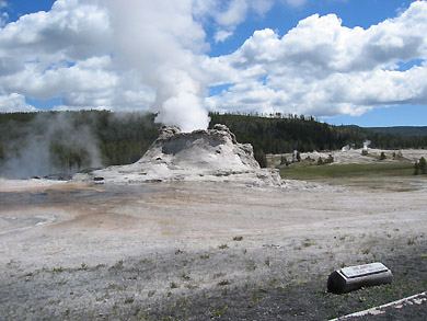 |
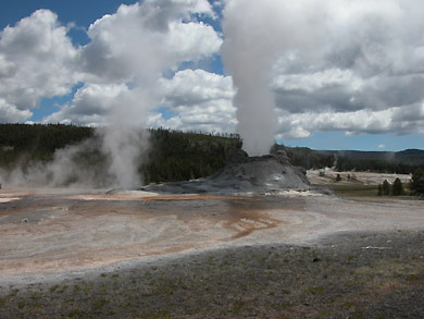
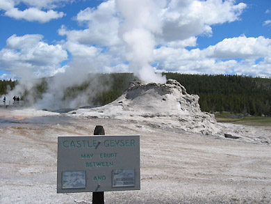
| Finally, our last stop in our walk was Castle Geyser. Best to read
what the sign said. I now think the picture above and below
show where we were when we saw the Goggles sign. |
 |
|
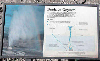 |
| The sign above and picture below surely go together. |
 |
| At about this point, we viewed a spectacular panoramic view from
GEYSER HILL. Have a view and come right
back. |
 |
|
This is labeled Depression Geyser. |
 |
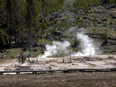
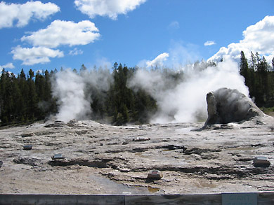
| I believe these three are the Lion Group. |
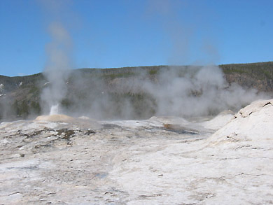 |
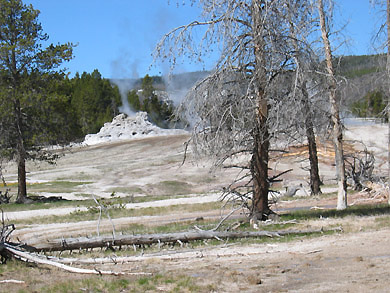
| . . . compare the picture there with this one. |
 |
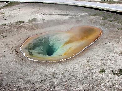
| So, what do we make of the pretty hole on the left. It was taken
three minutes before this sign was photographed and was labeled
"Belgian Spring" by Elaine on the map. |
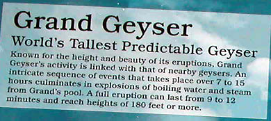 |
| I remember waiting for Grand Geyser to become grand, but it did
not up the trail or down the bike path later in the day. |
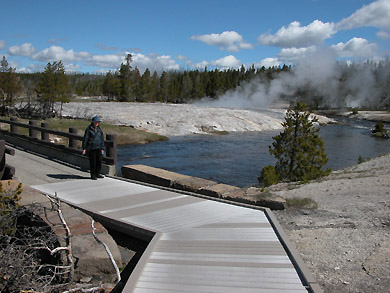 |
| This is the place where our wooden path crosses the river at
Oblong Geyser, so you can check the map above to see what the other
stuff was all about. |
 |
 |
|
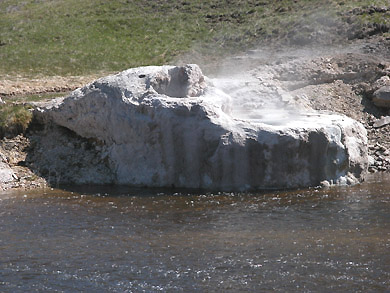
Riverside Geyser
Across the Firehole River is Riverside Geyser,
one of the most predictable and consistent
geysers in Yellowstone. Beginning an hour or
two before an eruption, water pours over the cone's edge,
and splashing and bubbling become more visible. Then, water
and steam arch over the river to heights of 75 feet. The eruption
will last about 22 minutes. As the water diminishes during
the eruption, steam continues to billow out, and, when the
light is right, rainbows often form in the misty air. |
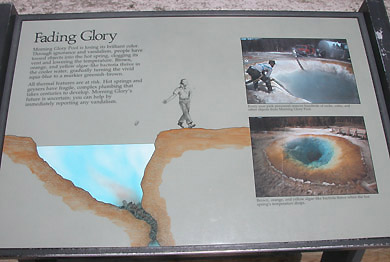 |
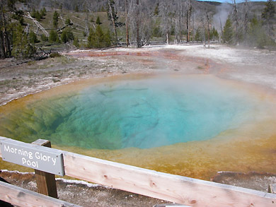
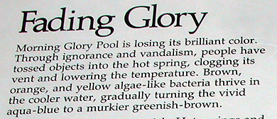
| Morning Glory pool -- but read this!!!! |
 |
 |
 |
 |
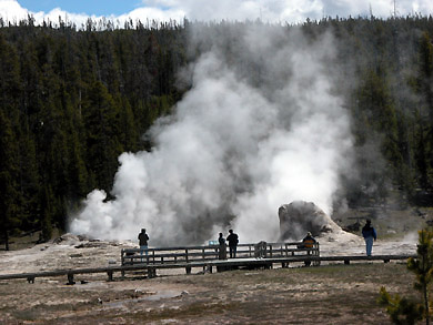
| This is what Elaine is reading. It was spectacular. |
 |
|
Castle Geyser
The massive cone is a sign of old age, Eruption after eruption,
probably for thousands of years, scalding water has deposited this
silica mineral formation. By contrast, Old Faithful's fledgling cone
may be only a few hundred years old.
Castle Geyser has dramatically changed it's surroundings. By flooding
the area with hot, silica-rich water, the geyser has devoured part
of a pine forest and turned it into a thermal desert. Tree skeletons
are entombed within the cone.
Castle Geyser's eruptions are predictable; two per day are
typically recorded.
|
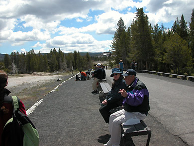 |
| We stopped here for quite a long time -- chatted with the bloke on
the bench next to Elaine. We thought if we waited awhile, the Castle
thing would really erupt -- But it didn't. Furthermore, the
day was only half over and we had a drive to take -- see it at West
Thumb, and points North to Montana. |
|
